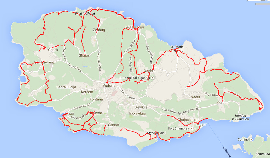
All the walks, from GPS track recordings
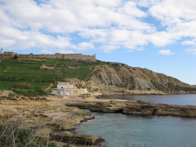
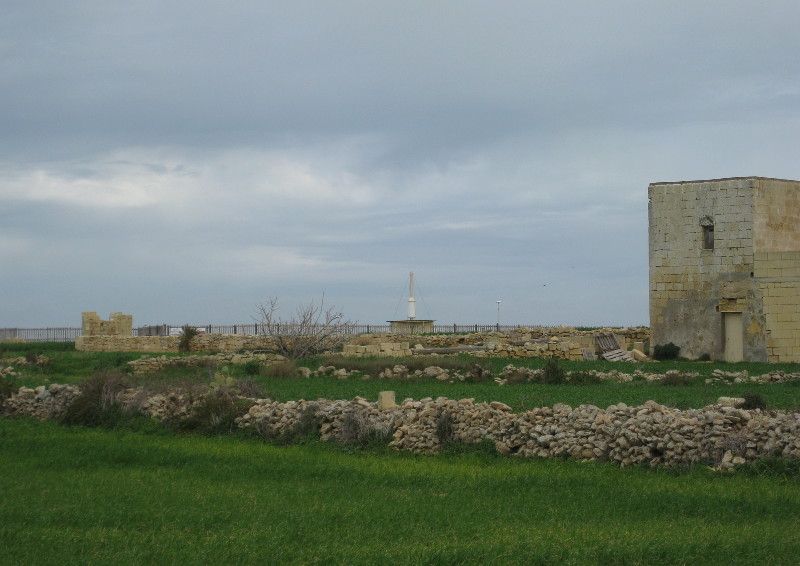
Fort Chambray at the top
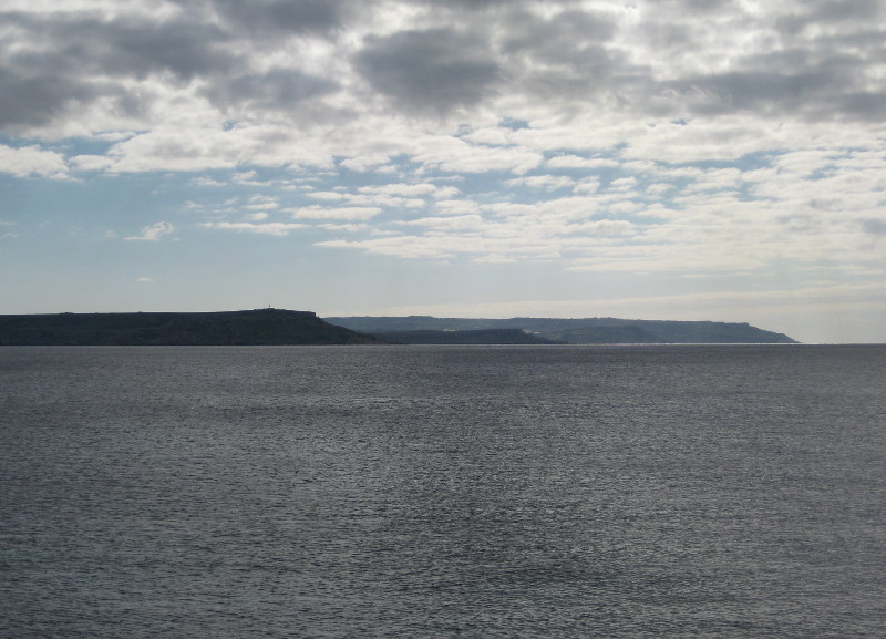
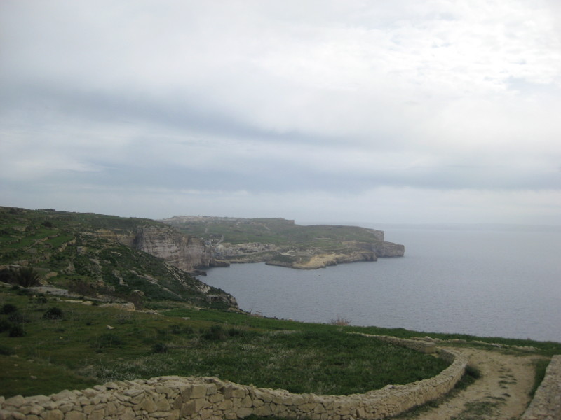
Looking South to northern Red Malta
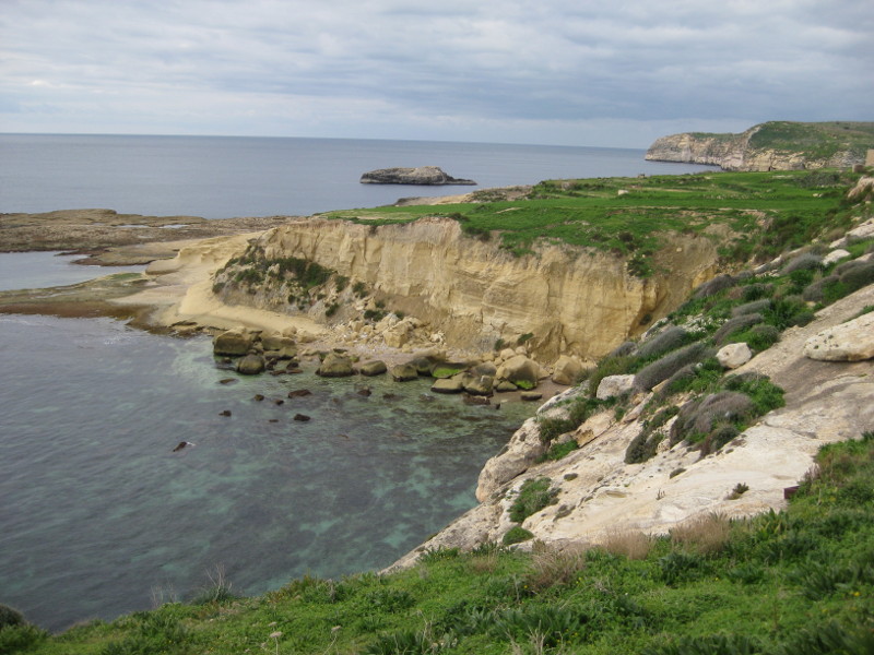
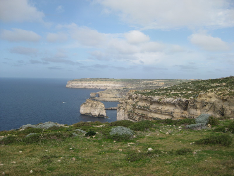
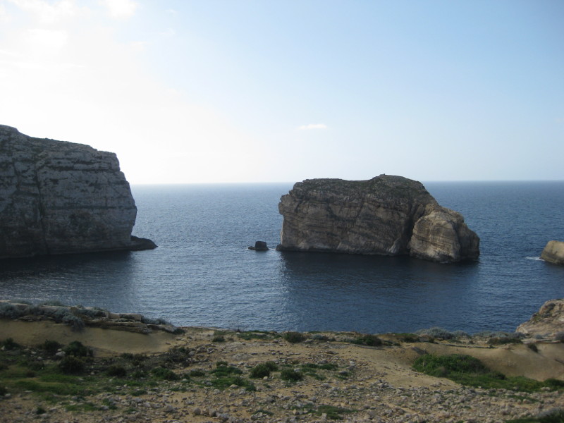
South Coast of Gozo, Ras il-Hobz and Freesij Rock
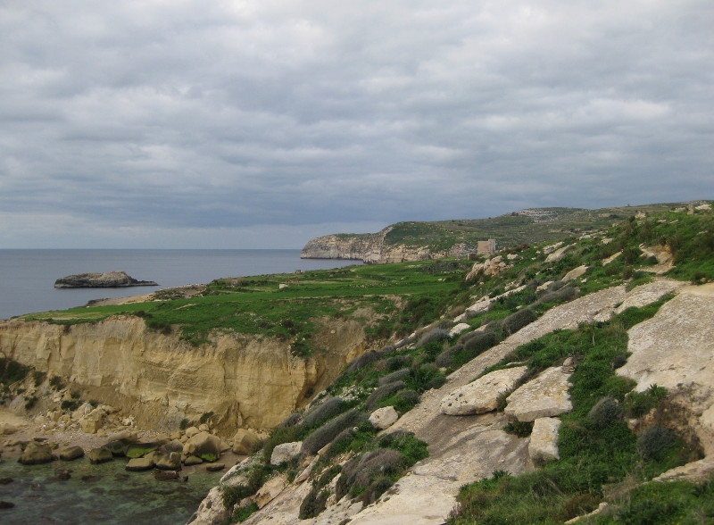
South Coast of Gozo, Ras il-Hobz and Freesij Rock
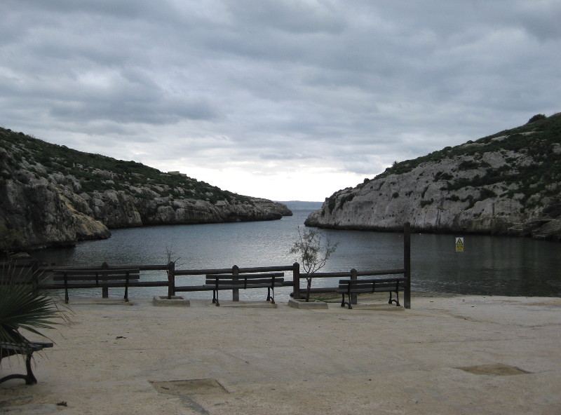
Mgarr ix-Xini
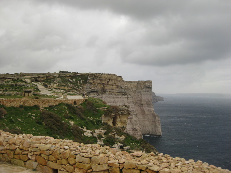
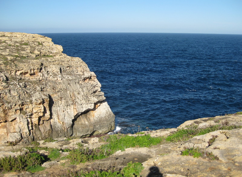
Sanap Cliffs, Munxar
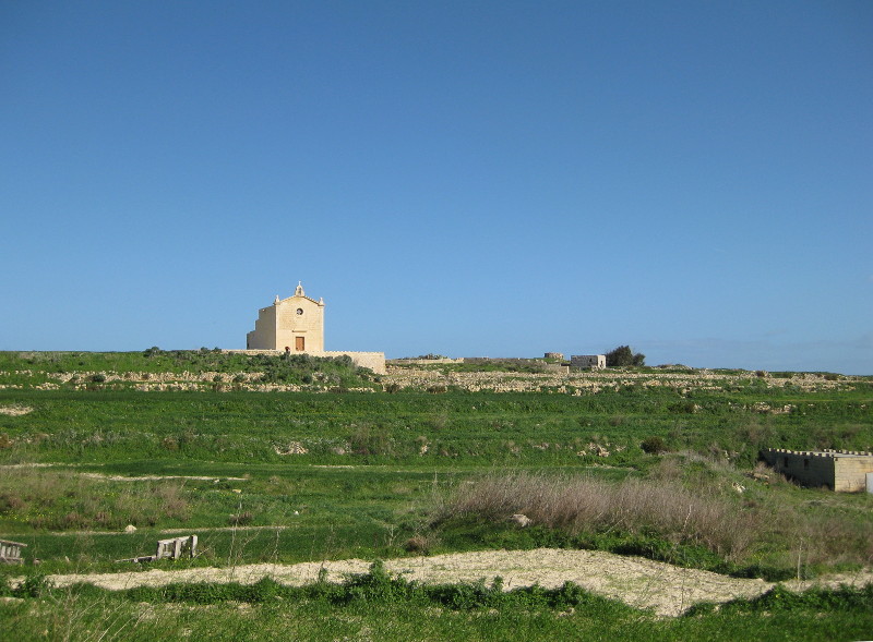
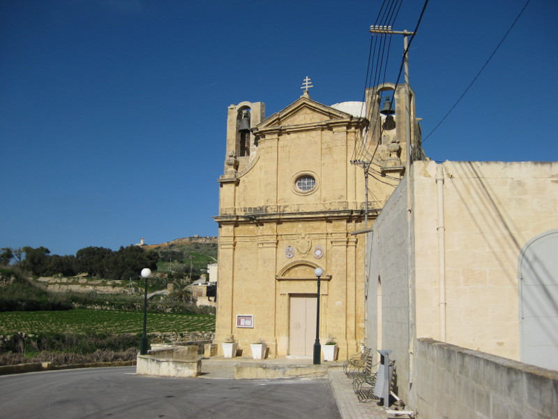
San Dimitri Chapel, north of Gharb
Gozo VOR-DME, Aeronatical Navigational Beacon; Identifier: GZO (--. --.. ---); Frequency 115.70 MHz; Location: 36° 02' 14.40" N, 014° 12' 18.90" E, 532 ft / 162 m asl; Intended use: RNAV (high power)
Xlendi Bay
Looking north towards Dwejra and the Azure Window
Dwejra Bay, a collapsed cave
Wied il-Ghasri
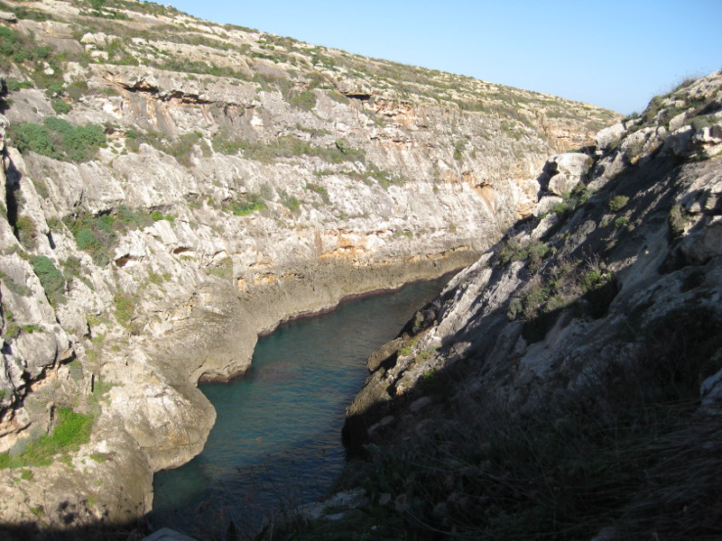
The Gorge of Wied il-Ghasri
Basilica of the Patronage of the Virgin Mary, 1786, the first Basilica on the island, north of Ghasri
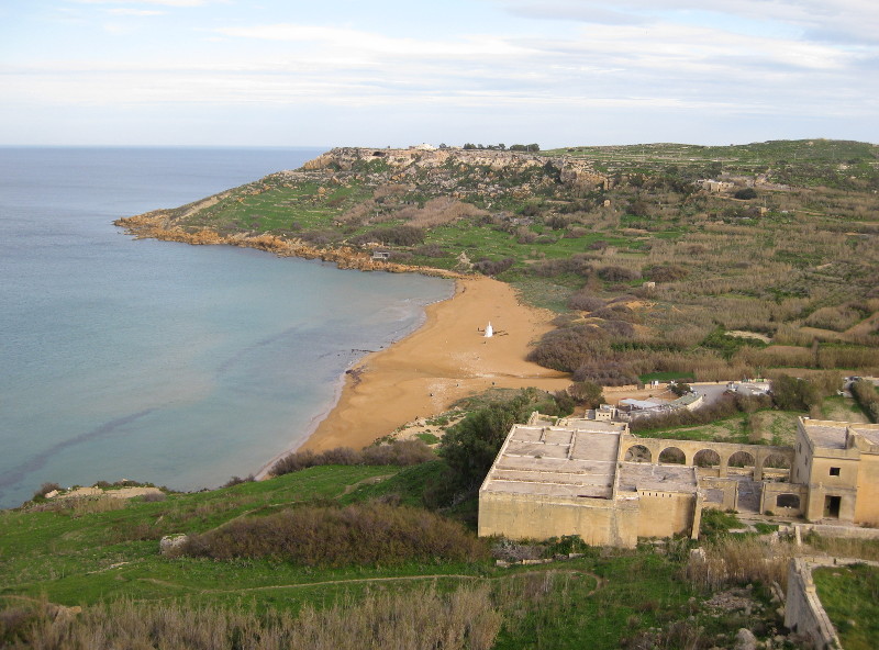
The popular beach at Ramla Bay, on the north east coast
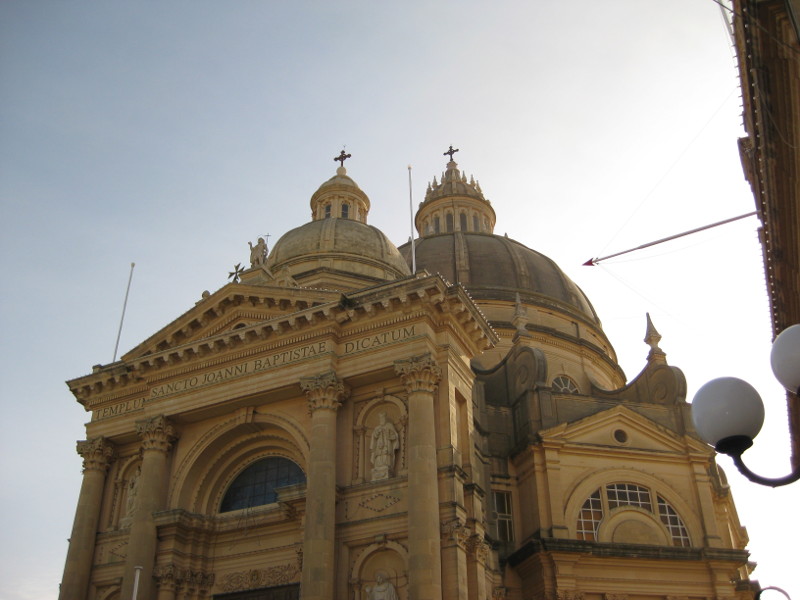
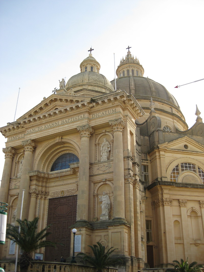
Church of Saint John the Baptist, Xewkija, built between 1952 and 1978, with the third largest unsupported dome in the world, which can be seen from miles around and northern Red Malta
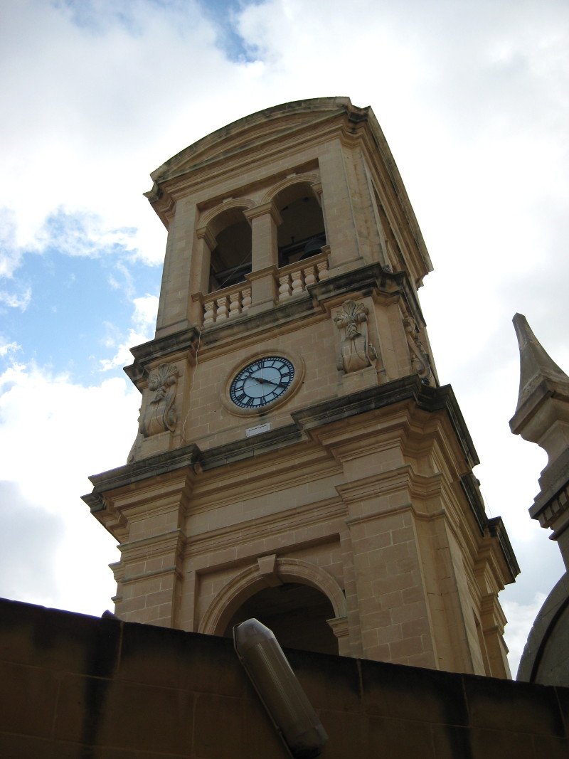
From the outside of the Dome, which can be reached by a lift inside the church
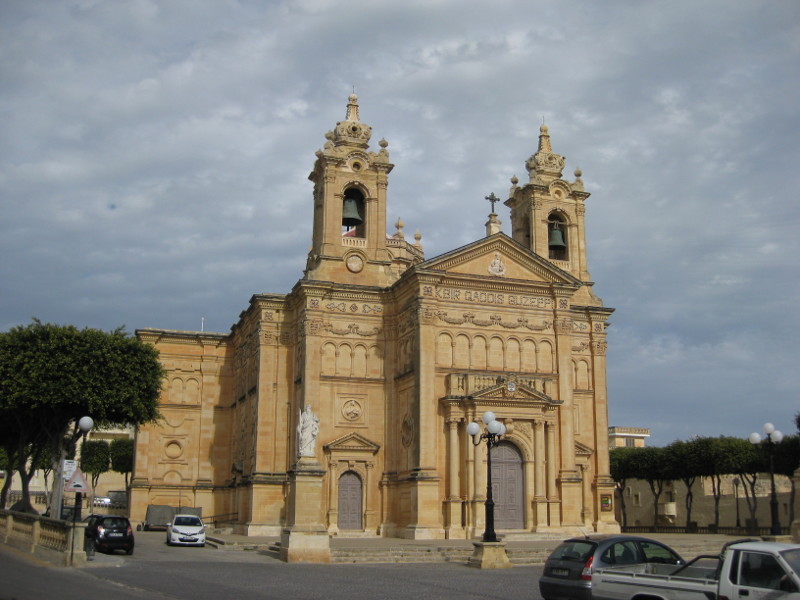
St. Joseph Parish Church, Qala
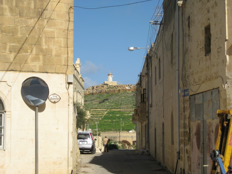
Gurdan Lighthouse, Ghasri, on the north coast, pictured from Ghammar
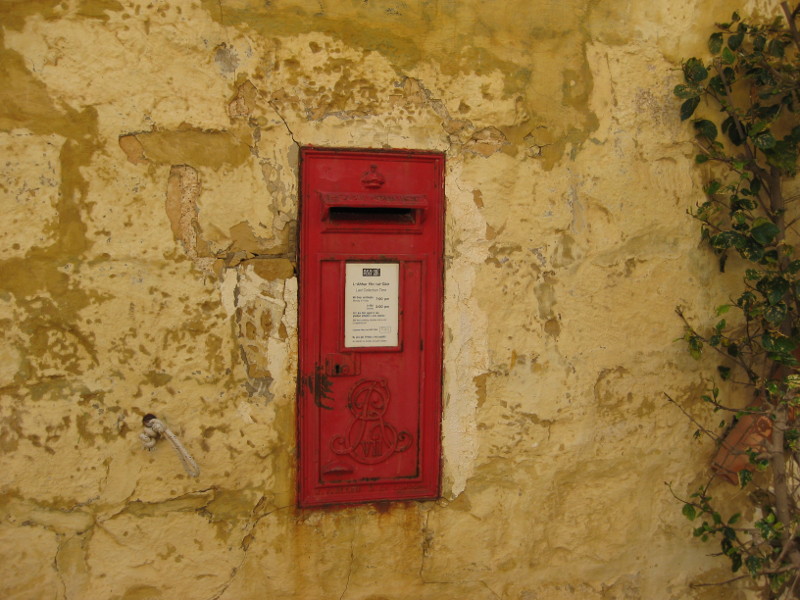
Post Box in Gharb
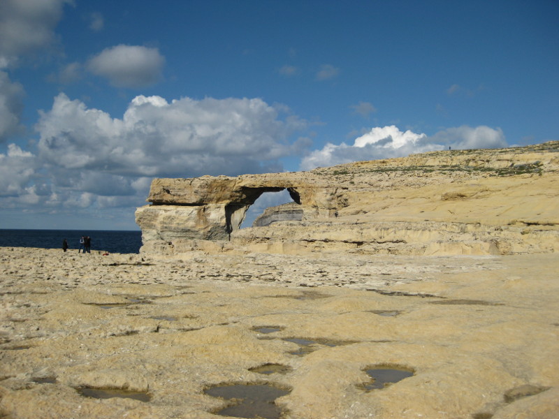
The Azure Window, Dwejra